Scorching temperatures, poor soil, limited water supplies and frequent storms make the town of Phalodi in India’s Thar desert a difficult place to live. However, ample space and abundant sunshine make this remote region of western Rajasthan an ideal place to harvest solar energy.
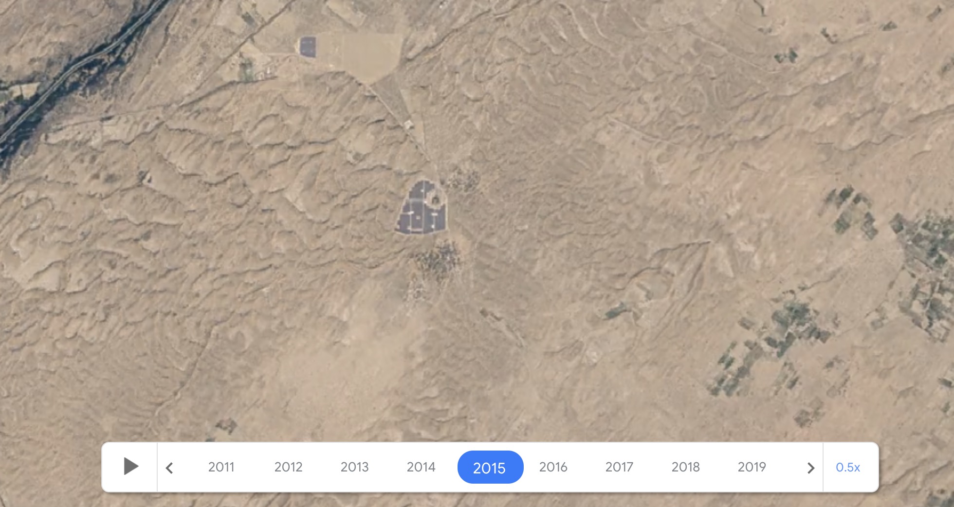
Construction of Bhadla Solar Park, near India’s border with Pakistan, began appearing in satellite images in 2015. Now, millions of solar panels have covered Phalodi, gives an impression to the landscape of this place.

Photo of Bhadla Solar Park in 2015, taken from Google Earth
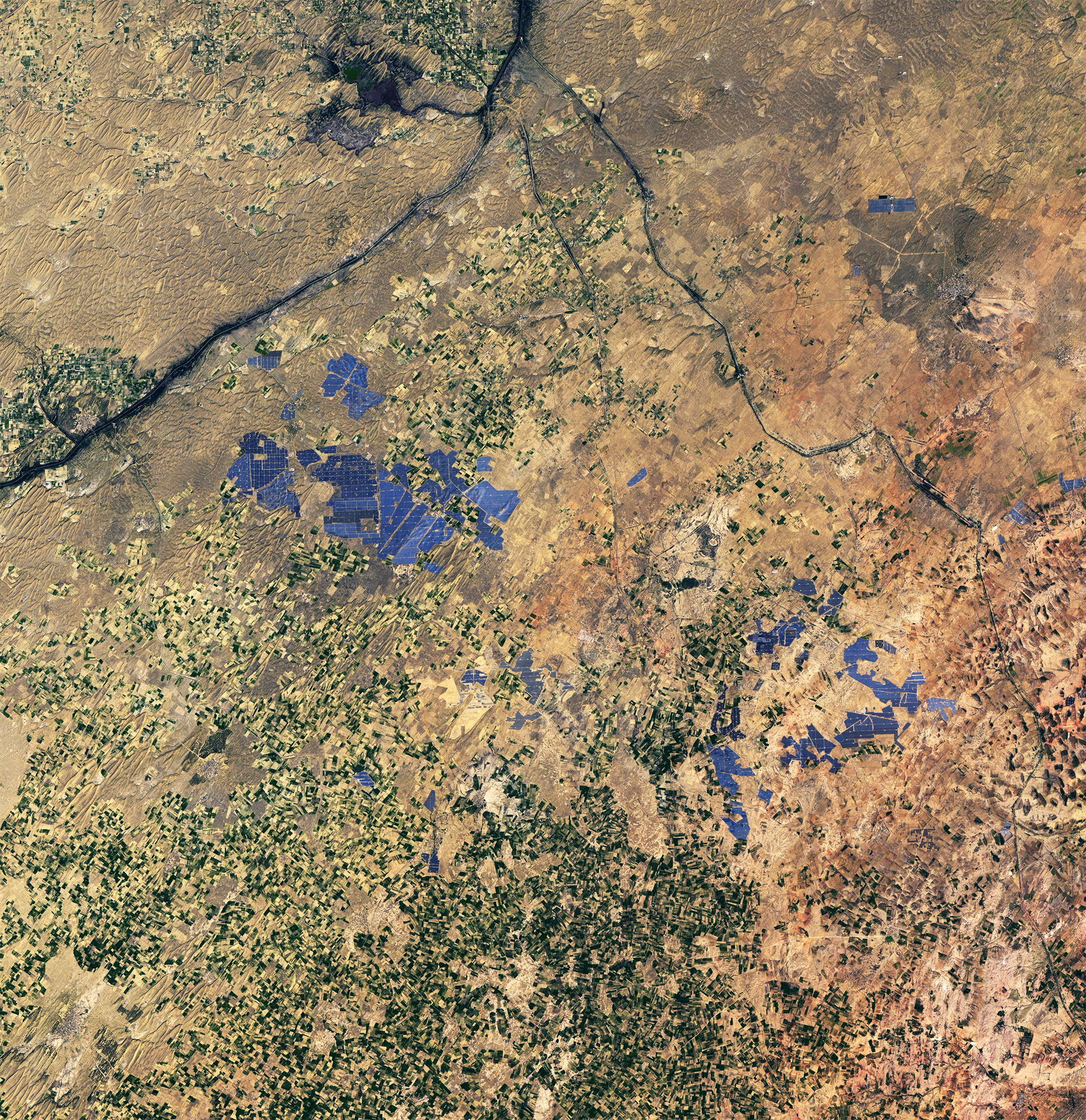
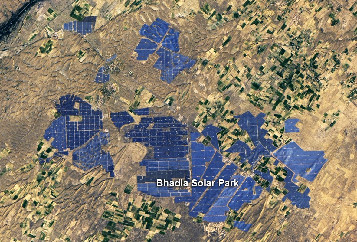
The Operational Land Imager (OLI) of the Landsat 8 satellite captured a natural color image of the park on January 26, 2022, from an altitude of 705 km. The images taken by OLI are of much higher quality than what you can see with Google Earth satellite images.
Bhadla Solar Park spans more than 5,700 hectares, one-third the size of Washington, D.C. It has a total capacity of 2,245 megawatts and is one of the largest solar parks in the world. This park has helped Rajasthan overtake Karnataka to become the state with the largest installed solar capacity in India, according to Mercomm India.

Landsat 8 satellite image taken on January 26, 2022

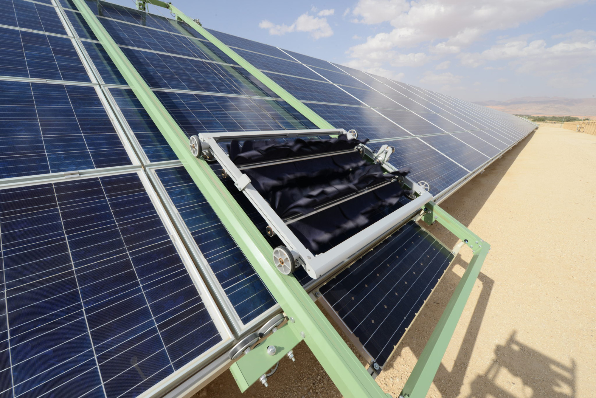
A corner of the park
Although the region has always-blue skies that would theoretically bring in plenty of solar energy, the frequent dust storms present a technical challenge as they coat the panels. and hinder electricity production.
Some operators have deployed thousands of cleaning robots on the panels, both cutting labor demand and reducing the amount of water needed for cleaning.

Several recent studies show that Landsat satellite imagery can further aid cleaning systems, by helping companies identify where dust accumulates and optimize cleaning operations.
Reference: SciTechdaily
